Protecting Shoreline Ecosystems
Science and Mapping
San Juan County’s picturesque shorelines provide more than just beautiful views
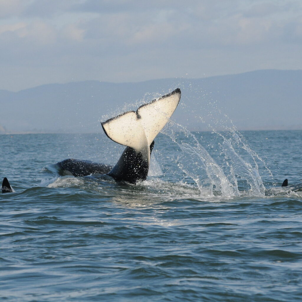
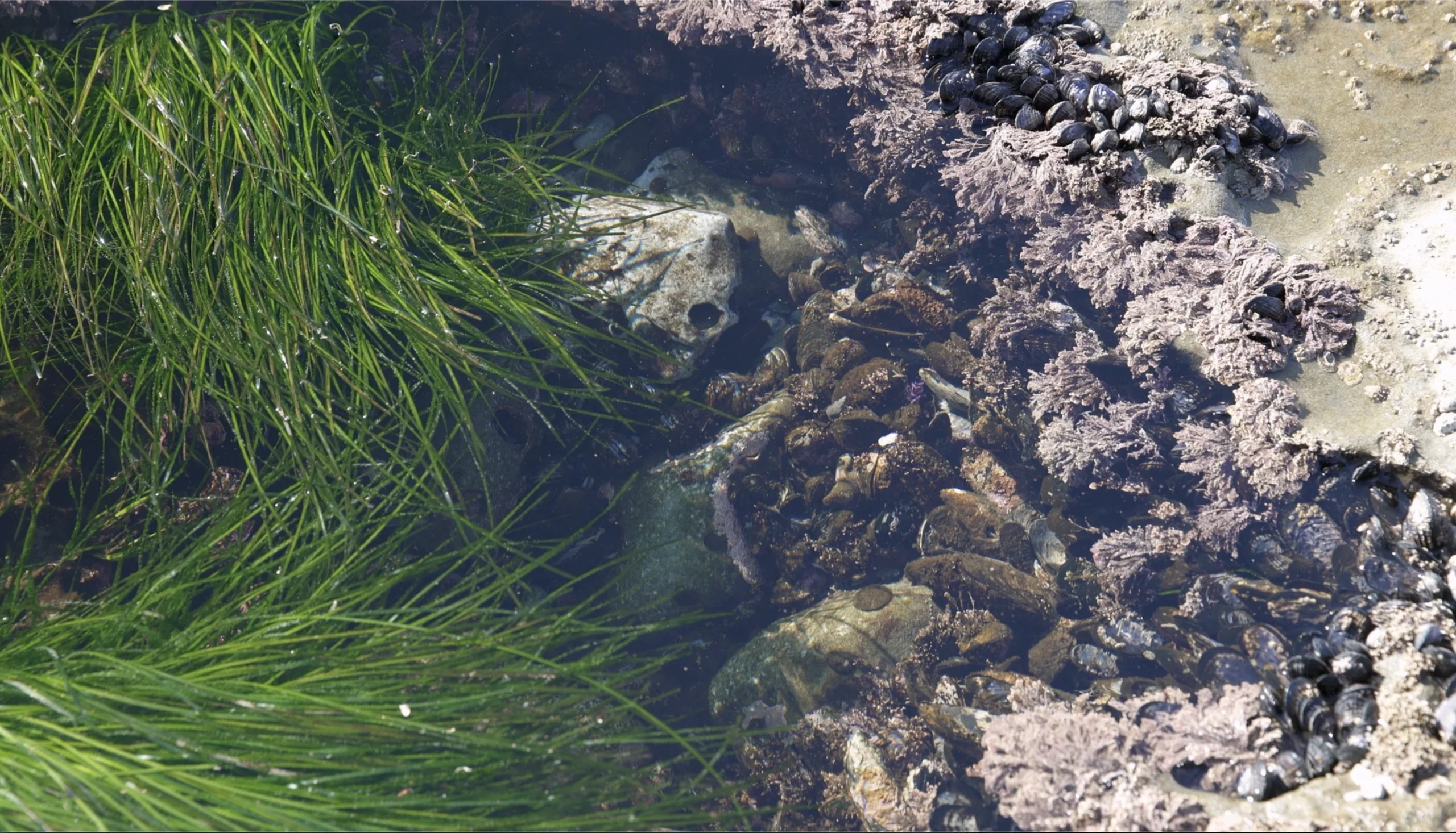
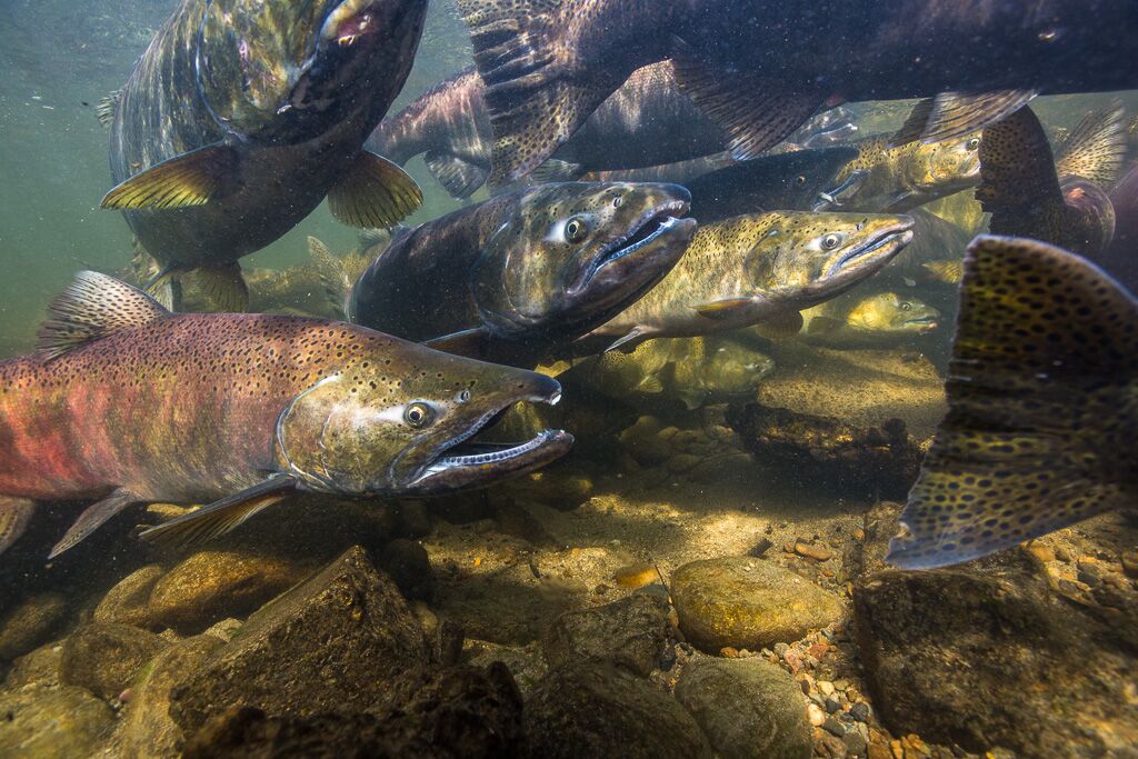
Underwater, eelgrass meadows and kelp beds serve as feeding, refuge, and migration corridors for crab, forage fish, salmon, and whales.
Friends of the San Juans’ science and mapping efforts help advocate for critical habitat protection and clean waters.
Mapping the Foundations of Shoreline Health
This interactive tool brings together Friends of the San Juans’ long-term shoreline research—from bull kelp and eelgrass mapping to forage fish habitat studies. These data layers guide restoration, shape local policy and law, and inform conservation efforts that protect San Juan County’s 400+ miles of shoreline. Working with interested landowners , the Land Bank, and the San Juan Preservation Trust, Friends helps ensure that science directly drives on-the-ground protection and long-term resilience.
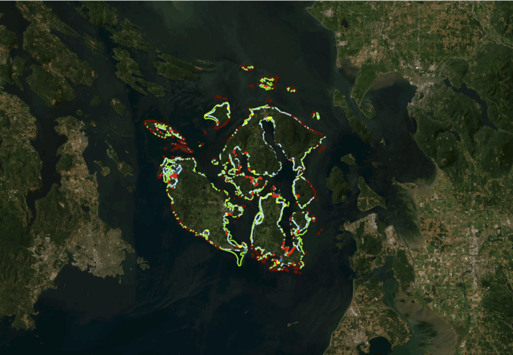

Increased shoreline development threatens the health of regional marine species, including forage fish, eelgrass, kelp, salmon, birds, and orcas. Human impacts such as shoreline armoring, docks, clearing and grading, and stormwater runoff systems can devastate San Juan County’s nearshore environment, disrupting natural processes and sensitive ecosystems.
Eelgrass Health
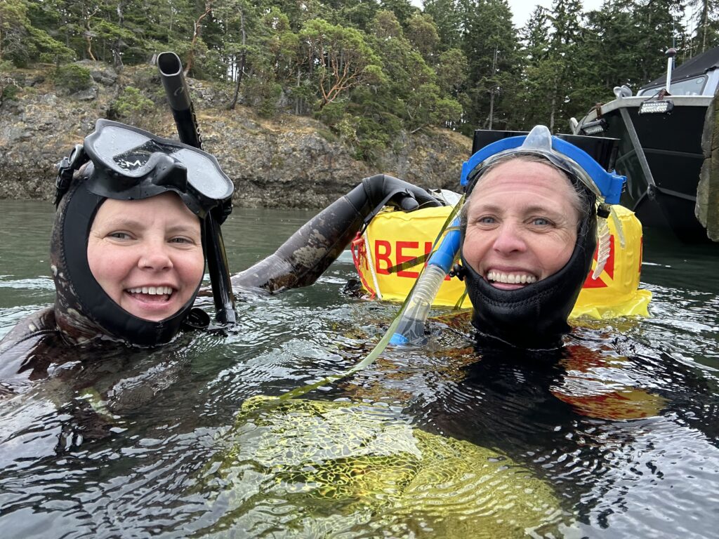
Friends of the San Juans and partners completed the first eelgrass mapping throughout San Juan County. Current projects monitor eelgrass beds in priority bays to assess their location, condition, and impacts from other environmental factors.
- Taking the Pulse of Resilience in Conserving Seagrass Meadows
- Diving Into Eelgrass Health
- San Juan County Eelgrass Report and Maps, 2003
Forage Fish Spawning Habitat
Friends leads efforts in San Juan County to map beach-spawning forage fish, including surf smelt and Pacific sand lance, and assists with exploratory surveys for pacific herring spawning areas.
- Known Pacific Sand Lance Spawning Sites in San Juan County More Than Doubled, 2022
- San Juan County Documented Forage Fish Spawn Sites, Current
- Whitman, T., D. Penttila, K. Krueger, P. Dionne, K. Pierce, Jr. and T. Quinn. 2014. Tidal elevation of surf smelt spawn habitat study for San Juan County Washington. Friends of the San Juans, Salish Sea Biological and Washington Department of Fish and Wildlife.
Bull Kelp Distribution
Friends and partners completed the first countywide assessment and mapping of bull kelp distribution.
- WDNR Kelp Mapping Protocol Report
- Friends of the San Juans Kelp Habitat White Paper
- A Decade of Disappearance: Bull Kelp in the San Juan Islands
Feeder Bluff Mapping
Friends partnered with Coastal Geologic Services to complete a countywide feeder bluff mapping effort and works to protect our valuable feeder bluffs by making them a conservation and restoration priority.
- Current and Historic Coastal Geomorphic (Feeder Bluff) Mapping of San Juan County, Washington
- Feeder Bluff Mapping Project Maps
Shoreline Modifications
After an extensive review of County and State permits, Friends’ research found that more than 90% of new shoreline armor installed in San Juan County between 2009 and 2019 lacked the required state and/or local permits before being constructed.
- Video: Shoreline Armoring in San Juan County, 2022
- Shoreline Armor 2009-2019 Change Analysis Fact Sheet
- Changes in Shoreline Armoring in San Juan County, Washington, 2009–2019: Mapping, Analysis, and Regulatory Review
- Inventory of Shoreline Modifications for San Juan County, Washington 2010 (email friends@sanjuans.org for ArcGIS files and project photos)
Sea Level Rise Vulnerability
Friends partnered with coastal scientists to develop a countywide evaluation and mapping of the infrastructure, developments, and habitats that are vulnerable to increased erosion and flooding from rising sea levels. Results are being used by public and private property owners and communities to increase resiliency.
San Juan County Sea Level Rise Inundation Maps
- MacLennan, A., J. Waggoner and J. Johannessen. 2013. Sea Level Rise Vulnerability Assessment for San Juan County, Washington. Prepared by Coastal Geologic Services for Friends of the San Juans.
- Sea Level Rise for San Juan County Additional Resources
Restoration and Protection Planning
- Out-migrating Juvenile Chinook Salmon Map
- Strategic Salmon Recovery Planning – Restoration and Protection Project Prioritization – Final Report (2017)
- Pulling It All Together for Salmon Recovery Final Report (2012)
Join Friends for Community-Centered Action
Whether you live in the San Juan Islands, visit often, or help care for the Salish Sea from afar, your actions make a difference. Together, we can protect what makes this place extraordinary—shorelines, wildlife, and community.