Sea Level Rise Resources for San Juan County
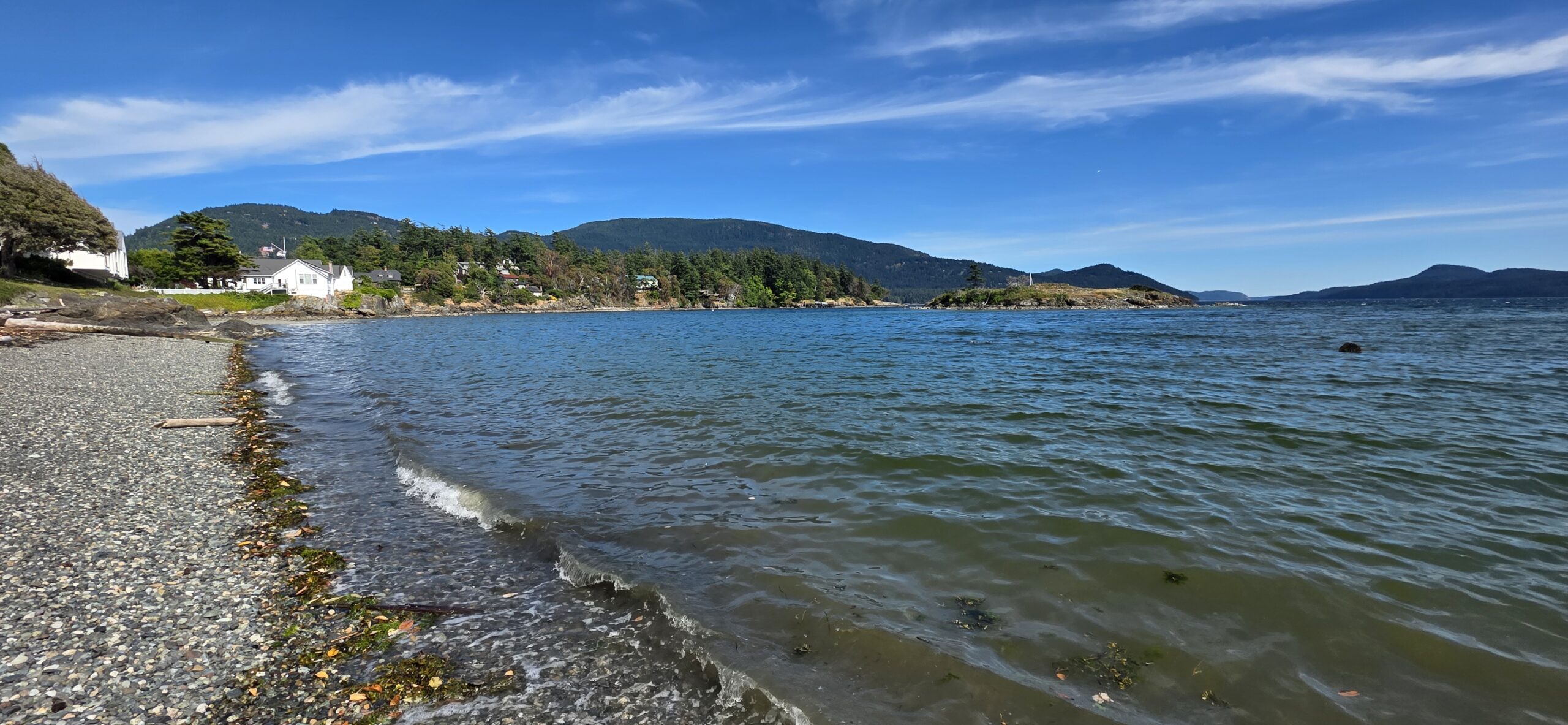
Friends of the San Juans works with coastal scientists, community members, and local governments to understand how sea level rise will affect island shorelines and habitats. Below you’ll find presentations, research, and tools designed to help our community plan for a more resilient future.
Community Sea Level Rise Workshop Survey Results
As part of informational workshops hosted by Friends of the San Juans with Washington Sea Grant and Coastal Geologic Services, interactive surveys were conducted. 174 workshop attendees participated in the surveys. Results are provided countywide (compiled from each workshop) as well as by each island/workshop.
Shifting Shorelines Workshop Presentations
Lopez Island Materials:
- Fun Facts about Shorelines in the Islands, by Friends of the San Juans
- The Science of Sea Level Rise and What’s Likely for our Community, by WA Sea Grant
- How Local Shoreline Types Will Respond to Sea Level Rise & Local Vulnerability Mapping and Adaptation Strategies that Work, by Coastal Geologic Services
- Examples of Local Shoreline Adaptation Projects Already Completed or Underway, by Friends of the San Juans
Orcas Island Materials:
- Fun Facts about Shorelines in the Islands, by Friends of the San Juans
- The Science of Sea Level Rise and What’s Likely for our Community, by WA Sea Grant
- How Local Shoreline Types Will Respond to Sea Level Rise & Local Vulnerability Mapping and Adaptation Strategies that Work, by Coastal Geologic Services
- Examples of Local Shoreline Adaptation Projects Already Completed or Underway, by Friends of the San Juans
San Juan Island Materials:
- Fun Facts about Shorelines in the Islands, by Friends of the San Juans
- The Science of Sea Level Rise and What’s Likely for our Community, by WA Sea Grant
- How Local Shoreline Types Will Respond to Sea Level Rise & Local Vulnerability Mapping and Adaptation Strategies that Work, by Coastal Geologic Services
- Examples of Local Shoreline Adaptation Projects Already Completed or Underway, by Friends of the San Juans
Information for waterfront property owners
- Living with the Shoreline – A stewardship guide for property owners in the San Juan Islands
- Friends of the San Juans recently worked with Coastal Geologic Services to investigate feasible alternatives for coastal property owners dealing with sea level rise in San Juan County. Click here to see the Sea Level Rise Adaptation Cost-benefit Analysis Case Study Report.
- Planning for the Future: Benefits of Beach Restoration Video
Research
Sea Level Rise Vulnerability Research
Friends partnered with coastal scientists to develop a countywide evaluation and mapping of the infrastructure, developments, and habitats that are vulnerable to increased erosion and flooding from rising sea levels. Results are being used by public and private property owners and communities to increase resiliency.
Sea Level Rise Policy Analysis: Loring, K. 2013. Addressing Sea Level Rise and Cumulative Ecological Impacts in San Juan County Washington – Through Improved Implementation and Effective Amendment of Local, State, and Federal Laws. Friends of the San Juans.Friday Harbor, Washington.
Erosion and Flood Vulnerability Report: MacLennan, A., J. Waggoner and J. Johannessen. 2013. Sea Level Rise Vulnerability Assessment for San Juan County, Washington. Prepared by Coastal Geologic Services for Friends of the San Juans.
For site specific information please contact Friends of the San Juans at 360-378-2319.
Forage Fish Habitat Vulnerability: Whitman, T., D. Penttila, K. Krueger, P. Dionne, K. Pierce, Jr. and T. Quinn. 2014. Tidal elevation of surf smelt spawn habitat study for San Juan County Washington. Friends of the San Juans, Salish Sea Biological and Washington Department of Fish and Wildlife.
Sea Level Rise coarse-scale “Bathtub” Maps
- Lopez Island: https://sanjuans.org/wp-content/uploads/2016/11/Lopez-sealevelriseinundationmapsfsjcgs2011.jpg
- Orcas Island: https://sanjuans.org/wp-content/uploads/2016/11/Orcas-sealevelriseinundationmapsfsjcgs2011.jpg
- San Juan Island: https://sanjuans.org/wp-content/uploads/2016/11/San-Juan-sealevelriseinundationmapsfsjcgs2011.jpg
- Shaw Island: https://sanjuans.org/wp-content/uploads/2016/11/Shaw-sealevelriseinundationmapsfsjcgs2011_000.jpg
Join Friends for Community-Centered Action
Whether you live in the San Juan Islands, visit often, or help care for the Salish Sea from afar, your actions make a difference. Together, we can protect what makes this place extraordinary—shorelines, wildlife, and community.


